 日本語
日本語About our research
Our laboratory is a research laboratory in the Department of Urban Management, Graduate School of Engineering, and conducts research on traffic engineering, urban planning, and transportation planning. Students from the doctoral and master's programs of the Department of Urban Management, and fourth-year students from the Department of Civil Engineering, belong to our laboratory.
For past research, see Research Achievements
Empirical research for creating urban attractiveness and vitality
Cities play various roles as places for people's lives, work, play, and relaxation, but they also face many challenges in terms of environment, energy, transportation, landscape, land use, etc. In this field, we aim to create a theoretical framework for solving these urban problems and enhancing urban attractiveness and vitality, as well as conducting empirical research to apply the theory to actual cities. We observe, analyze, and aim to utilize the results of urban phenomena in real society.
Research subjects
- Road development
- Public transport development
- land use policy
- Urban environment and amenity
- Statistical analysis of urban areas
- Traffic management
- Traffic flow analysis
Our reserch contents
- Evaluation theory of transportation social capital development in urban areas
- Urban public transportation policy theory such as railway, bus, LRT, etc.
- Research on tourism and urban vitality
- Research on creating urban attractiveness and liveliness
- Evaluation of autonomous driving from a traffic engineering perspective
- Accident risk evaluation based on driving behavior analysis
Research objectives
- Improving urban vitality and attractiveness
- Solving urban problems such as environment and transportation
Research examples
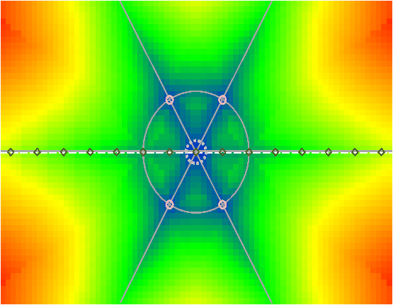
Elucidation of urban phenomena - Simulation of the relationship between urban structure and traffic phenomena
We have created an urban structure analysis model that expresses cities and transportation in numerical models to examine how the convenience of urban transportation systems composed of roads and railways affects the structure of cities, and conducted numerical simulation analysis under various scenarios.
The figure below shows an analysis example using a hypothetical city, and shows the distribution of transportation costs from each point in the city to the city center. When road or railway measures are implemented, the transportation costs of each point change, which affects the location choice of housing and commerce, and the urban structure changes.
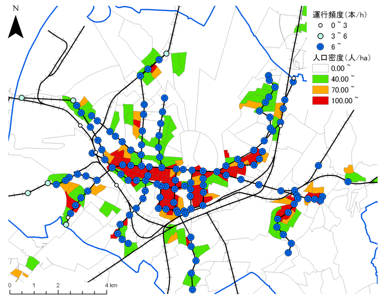
International comparison of railway frequency and urban structure
It is said that it is important to develop convenient public transportation to aim for a compact city, but in many regional cities, even if there is a railway, the frequency of operation is low and it is not sufficiently utilized. Therefore, we conduct an analysis to grasp the difference in population change around the railway due to the difference in convenience of the railway by using empirical data.
The figure below shows the stations and population distribution of cities in Germany, and shows the situation where the population is concentrated around the railway stations.
Construction of a transportation system that brings vitality to the city - Empirical experiment of improving public transportation convenience
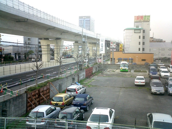
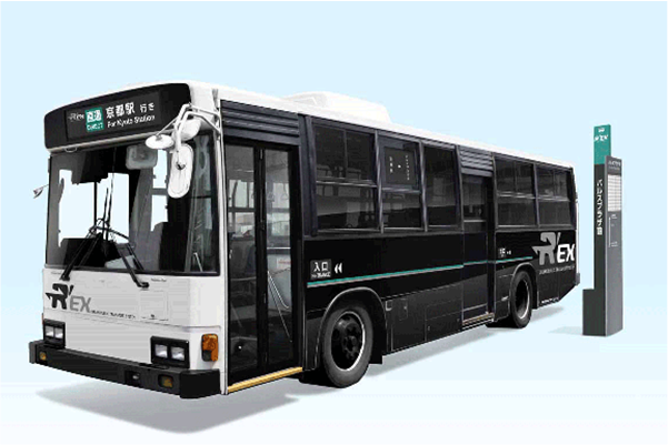
It has been shown that if a city is formed to be convenient for automobiles by developing roads, it becomes a city with a high environmental load, and if public transportation is made convenient, the city's agglomeration degree increases and the environmental load is reduced, so it is important to examine the change process of transportation behavior and urban structure in the area where such a situation actually exists. To improve the convenience of public transportation. For that purpose, we also conduct empirical experiments to improve the convenience of public transportation. The southern part of Kyoto City is a convenient area for automobiles, such as having an IC on the highway, but public transportation is not convenient, so it has a low-density usage form. Therefore, our laboratory, in collaboration with the Low Carbon Urban Area Policy Unit, is conducting an empirical experiment to operate a bus that connects Kyoto Station and this area.
The photo (left) is a photo of the current low-density land use situation, and the photo (right) is a photo of the “Kyoto Rakunan Express (R'EX)” that is running in the empirical operation.
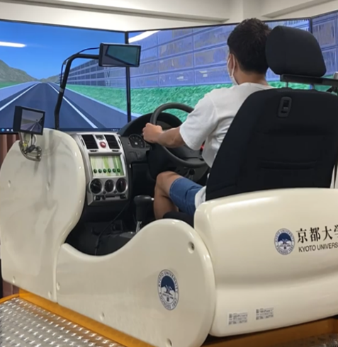
Safety evaluation of highway traffic during truck platoon driving using driving simulator
Due to the shortage of drivers who support logistics, the introduction of truck platoon driving is being considered. However, there are cases where the main line is obstructed by general vehicles merging into the main line while driving in the merging section of the highway.